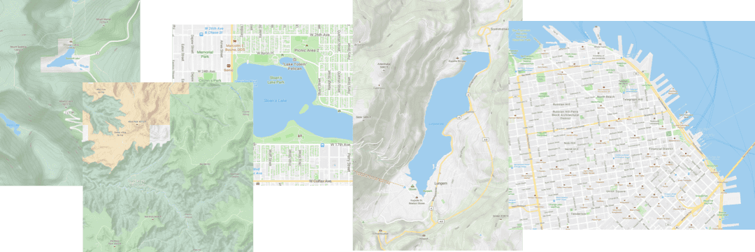
Set your applications apart from the competetion
Create a free developer account to add AccuTerra Maps to your applications today
Give your users the confidence to roam
Your users expect the best from your application. Rest easy knowing you are providing the most reliable maps available.
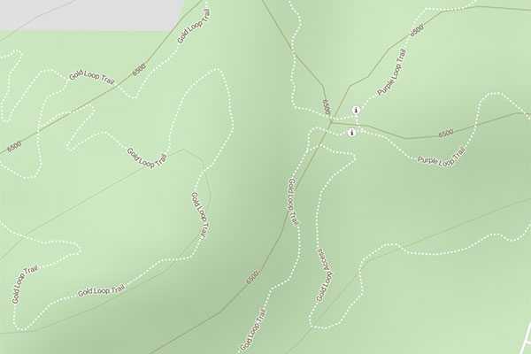
Roads and Trails
We built our USA maps with combination of data from the nation’s national parks, national forests, and BLM lands, state parks, local parks, and high-use recreation areas, alongside data from the OpenStreetMap community.
The result is an unparalleled mapping product for outdoor recreation and rural use.
Surface Management
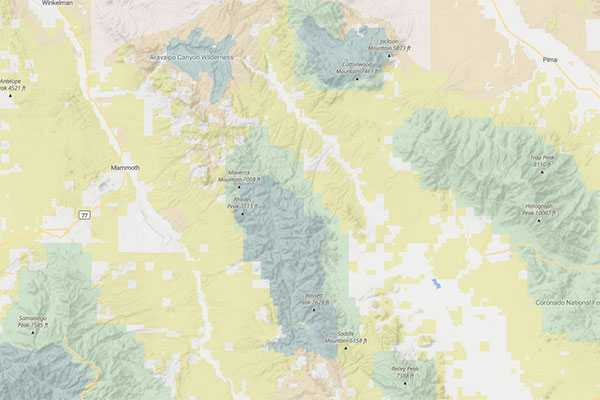
Knowing when you are on private or public land is of critical importance. We have added federal Surface Managemnt Areas along with state land ownership data to to form the most complete nation-wide recreation areas map.
While certainly colorful, it also guarantees that when using our maps you know exactly what type of public lands you’re on.
Detailed Terrain
AccuTerra’s unique terrain map and contours make it easy to guage even subtle differences in the earth’s, understand elevation changes, and plot your best route forward.
Always know what’s just over the next hill.

See the difference with AccuTerra Maps
AccuTerra was built by a team of avid outdoorsmen, hikers, cyclists, backpackers, and lovers of the great outdoors. Our maps are created with a unique collection of the nation's multi-use, equestrian, foot traffic, OHV, and snowmobile trails, combined with open mapping solutions. Like having a trail map for the whole world, AccuTerra ensures you never need to search for a quality map again.
